Click on an area to see carriage print locations
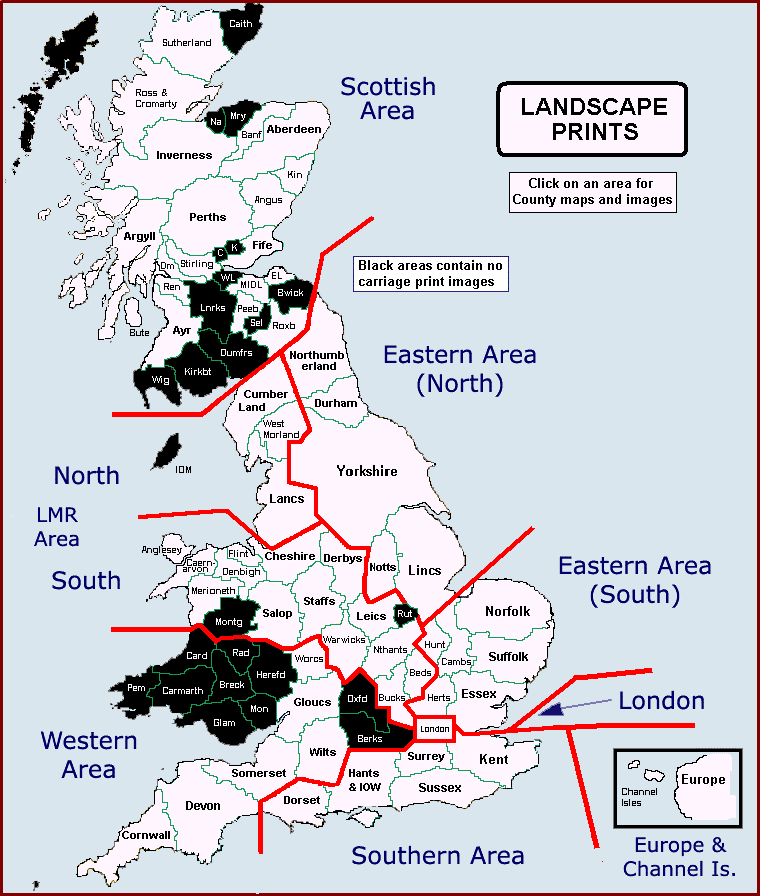
Maps are based on the old county structure of Britain before the local government reorganisations of the 1960s and 70s took place.
Click on an area to see carriage print locations
Maps are based on the old county structure of Britain before the local government reorganisations of the 1960s and 70s took place.
|
TRAVELLING ART GALLERY TRAVELLING ART GALLERY |
